The Alicante Garden
The traditional Alicante Huerta includes the municipalities of Alicante, El Campello, Mutxamel and Sant Joan d’Alacant. This unique fertile space is located on a flat coastal plain to the NE of the urban perimeter of the capital of the L’Alacantí region, framed to the north by the Xixí hills and the Bonalba and Ballestera mountain ranges; to the NW, with the lands that connect with the plains of San Vicente del Raspeig; to the east along the coast of Sant Joan d’Alacant beach; to the SW, by the hills of Calvario, les Llomes del Garbinet and Lloma Redona, being able to see to the west of Tángel the elevations of les Llometes and to the south, a coastal band formed by Serra Grossa, Cap de les Hortes and les Llometes del Far.
The Montnegre River flows through this area of black limestone; It is defined as a river-rambla. This instability, which continued until the first half of the 19th century, can be identified thanks to the prayers ad petendam pluviam or pro pluvia and pro serenitate to calm and calm the waters respectively, to the memorials and reports made for political bodies and to the data from the analysis of the decimal series and fluctuations in the prices of agricultural products.
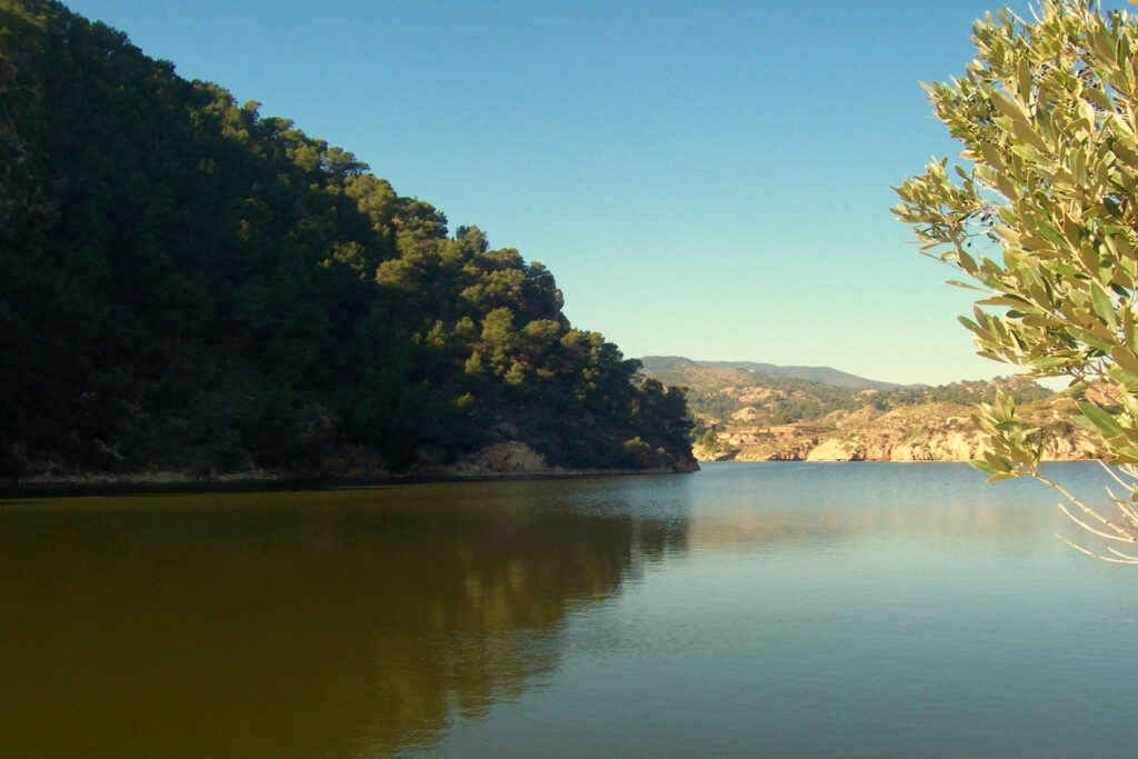
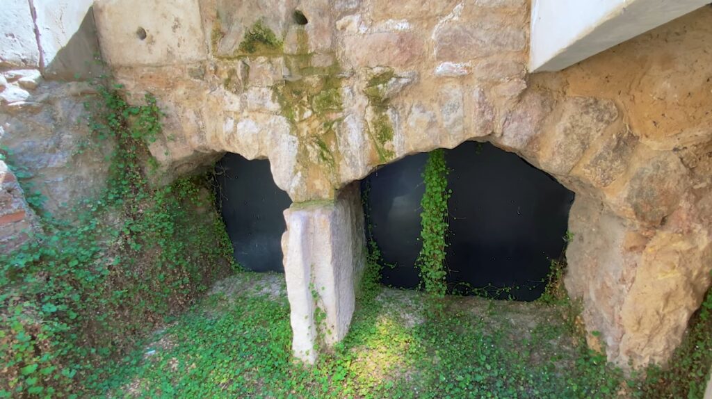
Therefore, this agricultural society has been, over the centuries, linked to the irregular flow of the Montnegre River and the irrigation system that has been built and preserved throughout these centuries. This system includes the Tibi reservoir, which closed its floodgates on October 13, 1593; and the assuts located in the municipality of Mutxamel: Les Fontetes, documented from the end of the 15th century and rebuilt at the beginning of the 19th century, Nou, a work approved on June 21, 1377 by King Pedro IV, although around 1578 the Consell Alicante determined a new weir, and El Campello, existing since the end of the 18th century.
This irrigation system gave rise to varied crops where pear and fig trees flourished, olive trees of the grossal variety, vineyards, almond trees, carob trees, grains, barbell, silk and other productions or the plantation of mulberry trees, palm trees, panizos and chickpeas. Hemp, flax and rice were grown in Benimagrell. Among all these products, is the wine that reached its peak at the end of the century after the signing of different trade treaties with the Gauls, after their crops were decimated by phylloxera in 1877 and 1882. These treaties were valid for ten years, but the arrival of the aforementioned plague to these lands, the end of the pact in 1892, the recovery of the Gallic vineyards and the growing Algerian production gave rise to a serious crisis in the Alicante Huerta.

Did you know that...?
The flood of November 13, 1697 broke some timber in the Tibi reservoir and opened a gap of 10 x 8 meters about 30 meters from the riverbed, although the Marquis D. Jorge Próspero Verboom -prestigious head of the corps of military engineers created by Felipe V – believed that the enormous gap was a consequence of sabotage carried out by the owners of Agua Vieja.
After the repair, on December 4, 1738, the gate was closed so that the reservoir could begin to collect water again and thus regulate irrigation in the Huerta de Alicante.
The flood of August 17, 1789 broke the weirs of Mutxamel and Sant Joan d’Alacant and made the Major irrigation ditch unusable by filling it with washes, according to the report of the judge administrator of the reservoir, Antonio Montenegro.
The flood of September 7, 1793 exceeded the terrace of the Tibi reservoir by about three meters, ruining the spillway and the bridge. The monolith next to the bridge with the inscription: “CAROLVS IV / PATER PATRIE / PONTIS; VIAMQUE ROTIS / PROVEXIT / A. (NNO) D. OMINI) MDCCXCV”. In addition, the Les Fontetes weir and its casemate were uprooted, fields and roads were destroyed, and eight flour mills stopped working. The flood of April 11, 1794, destroyed the Molí Nou and threatened to fall into the Major irrigation channel.

Tibi reservoir (Alicante)

